Report on Hekla (Iceland) — May 1981
Scientific Event Alert Network Bulletin, vol. 6, no. 5 (May 1981)
Managing Editor: Lindsay McClelland.
Hekla (Iceland) SO2 detected from 1981 lava flows
Please cite this report as:
Global Volcanism Program, 1981. Report on Hekla (Iceland) (McClelland, L., ed.). Scientific Event Alert Network Bulletin, 6:5. Smithsonian Institution. https://doi.org/10.5479/si.GVP.SEAN198105-372070
Hekla
Iceland
63.983°N, 19.666°W; summit elev. 1490 m
All times are local (unless otherwise noted)
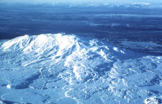
The COSPEC detected SO2 N and SW of Hekla's April 1981 lava flows.
Geological Summary. One of Iceland's most prominent and active volcanoes, Hekla lies near the southern end of the eastern rift zone. Hekla occupies a rift-transform junction, and has produced basaltic andesites, in contrast to the tholeiitic basalts typical of Icelandic rift zone volcanoes. Vatnafjöll, a 40-km-long, 9-km-wide group of basaltic fissures and crater rows immediately SE of Hekla forms a part of the Hekla-Vatnafjöll volcanic system. A 5.5-km-long fissure, Heklugjá, cuts across the 1491-m-high Hekla volcano and is often active along its full length during major eruptions. Repeated eruptions along this rift, which is oblique to most rifting structures in the eastern volcanic zone, are responsible for Hekla's elongated ENE-WSW profile. Frequent large silicic explosive eruptions during historical time have deposited tephra throughout Iceland, providing valuable time markers used to date eruptions from other Icelandic volcanoes. Hekla tephras are generally rich in fluorine and are consequently very hazardous to grazing animals. Extensive lava flows from historical eruptions, which date back to 1104 CE, cover much of the volcano's flanks.
Information Contacts: K. Grönvold; NVI; R. Stoiber and S. Williams, Dartmouth College.