Report on Talang (Indonesia) — 20 June-26 June 2007
Smithsonian Institution / US Geological Survey
Weekly Volcanic Activity Report, 20 June-26 June 2007
Managing Editor: Sally Sennert.
Please cite this report as:
Global Volcanism Program, 2007. Report on Talang (Indonesia) (Sennert, S, ed.). Weekly Volcanic Activity Report, 20 June-26 June 2007. Smithsonian Institution and US Geological Survey.
Talang
Indonesia
0.979°S, 100.681°E; summit elev. 2575 m
All times are local (unless otherwise noted)
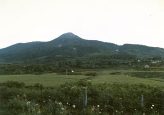
Based on visual observations, CVGHM reported that during 18-25 June thick brown ash plumes from Talang's Main Crater rose to an altitude of 3.1 km (10,200 ft) a.s.l. Diffuse white ash plumes rose to an altitude of about 3 km (10,000 ft) a.s.l. from the South Crater. The Alert Level remained at 2 (on a scale of 1-4).
Geological Summary. Talang, which forms a twin volcano with the extinct Pasar Arbaa volcano, lies ESE of the major city of Padang and rises NW of Dibawah Lake. Talang has two crater lakes on its flanks; the largest of these is 1 x 2 km wide Danau Talang. The summit exhibits fumarolic activity, but which lacks a crater. Historical eruptions have mostly involved small-to-moderate explosive activity first documented in the 19th century that originated from a series of small craters in a valley on the upper NE flank.
Source: Pusat Vulkanologi dan Mitigasi Bencana Geologi (PVMBG, also known as CVGHM)