Report on Ambang (Indonesia) — 9 July-15 July 2014
Smithsonian Institution / US Geological Survey
Weekly Volcanic Activity Report, 9 July-15 July 2014
Managing Editor: Sally Sennert.
Please cite this report as:
Global Volcanism Program, 2014. Report on Ambang (Indonesia) (Sennert, S, ed.). Weekly Volcanic Activity Report, 9 July-15 July 2014. Smithsonian Institution and US Geological Survey.
Ambang
Indonesia
0.75°N, 124.42°E; summit elev. 1795 m
All times are local (unless otherwise noted)
On 3 July, CVGHM reported a significant increase in seismicity from Ambang, particularly shallow earthquakes (VB). During 1 June-2 July, 7-9 shallow volcanic (VB) and 2-9 deep volcanic (VA) earthquakes were detected per week, for totals of 33 VB and 29 VA earthquakes in that time. The Alert Level was raised to Level 2 on 3 July. An exclusion zone was placed around the crater with a radius of 1.5 km. Persistent diffuse gas emissions were observed reaching 10-25 m above the crater.
CVGHM noted that previous eruptions were dominated by effusive lava flows and were punctuated by explosive eruptions producing pyroclastic flows and fallout. The last event recorded at Ambang was a phreatic explosion in 2005; a persistent fumarolic field remains from that activity. CVGHM noted that a magmatic eruption generating pyroclastic flows would threaten communities SE of the summit including the villages of Bongkudai, Goaan, Purworejo, and Modayong.
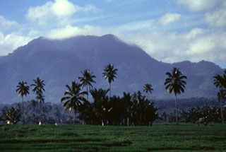
Geological Summary. The compound Ambang volcano is the westernmost of the active volcanoes on the northern arm of Sulawesi. The stratovolcano rises 750 m above lake Danau. Several craters up to 400 m in diameter and five solfatara fields are located at the summit.
Source: Pusat Vulkanologi dan Mitigasi Bencana Geologi (PVMBG, also known as CVGHM)