Global Volcanism Program | Image GVP-04445
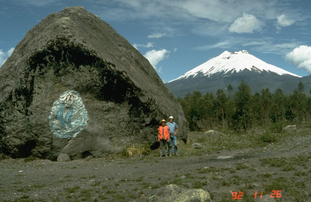
This massive boulder on the SW side of Cotopaxi was carried in a lahar, possibly during a major eruption in 1877. Scale is provided by volcanologists Minard Hall and Patty Mothes. More than 130,000 people live in areas subject to lahar risk from Cotopaxi. The 1877 eruption produced lahars that covered this valley, swept into eastern river drainages, and reached the Pacific Ocean along valleys to the NW.
Photo by Tom Pierson, 1992 (U.S. Geological Survey).
![]() This image is made available as a Public Domain Work, but proper attribution is appreciated.
This image is made available as a Public Domain Work, but proper attribution is appreciated.
Galleries: Lahars
Keywords: lahar | deposit | field work | volcanologist

Cotopaxi