Global Volcanism Program | Image GVP-05249
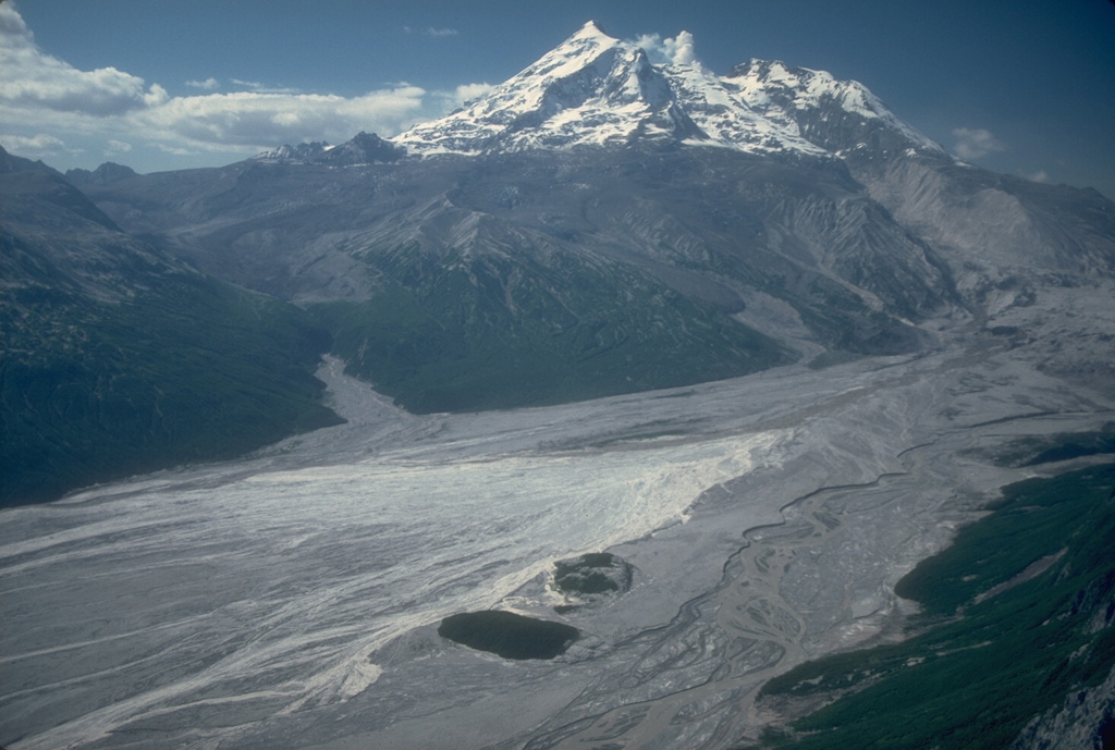
An aerial view shows the upper Drift River valley following the 1989-90 eruptions of Redoubt. Two bedrock islands (informally called the "Dumbbell Hills") are visible at the bottom-center, surrounded by fresh lahar deposits. This photo was taken from the NE on 28 June 1990, shortly after the end of the eruption.
Photo by Cynthia Gardner, 1990 (U.S. Geological Survey).
![]() This image is made available as a Public Domain Work, but proper attribution is appreciated.
This image is made available as a Public Domain Work, but proper attribution is appreciated.
Galleries: Lahars
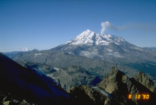
Redoubt