Global Volcanism Program | Image GVP-11075
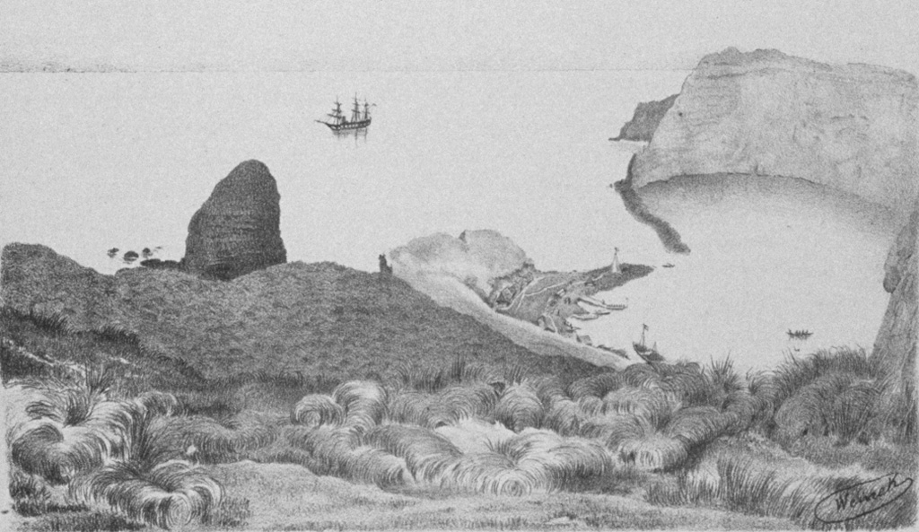
A small 1.8-km-wide caldera cuts the E side of uninhabited St. Paul Island, as depicted in this plate from the SMS Gazelle expedition. The flooded caldera has 300-m-high walls on the SW side and is narrowly constrained by low spits on the NE. Geothermal areas are located along the caldera rim and along the margins of the caldera bay. The entire NE half of the volcano forming much of the island now lies beneath the sea.
Plate from the SMS Gazelle expedition (courtesy of NOAA Photo Library).
![]() This image is made available as a Public Domain Work, but proper attribution is appreciated.
This image is made available as a Public Domain Work, but proper attribution is appreciated.
Keywords: caldera

St. Paul