Global Volcanism Program | Image GVP-11471
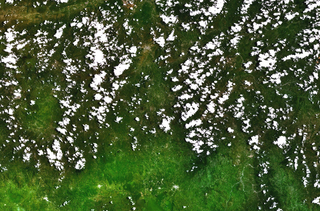
The right side of the relatively cloud-free area at the center of this NASA Landsat image (with north to top) contains the Quezaltepeque volcanic field. A series of youthful lava flows was erupted from vents along a N-S-trending fault cutting through Tertiary pyroclastic rocks about 5 km south of the town of Quezaltepeque. The northern end of Lake Güija along the Guatemala/El Salvador border is at the bottom of the image, and the city of Chiquimula is at the top center. The fault-controlled Río Motagua valley is at the upper left.
NASA Landsat 7 image (worldwind.arc.nasa.gov)
![]() This image is made available as a Public Domain Work, but proper attribution is appreciated.
This image is made available as a Public Domain Work, but proper attribution is appreciated.
Quezaltepeque