Global Volcanism Program | Image GVP-11493
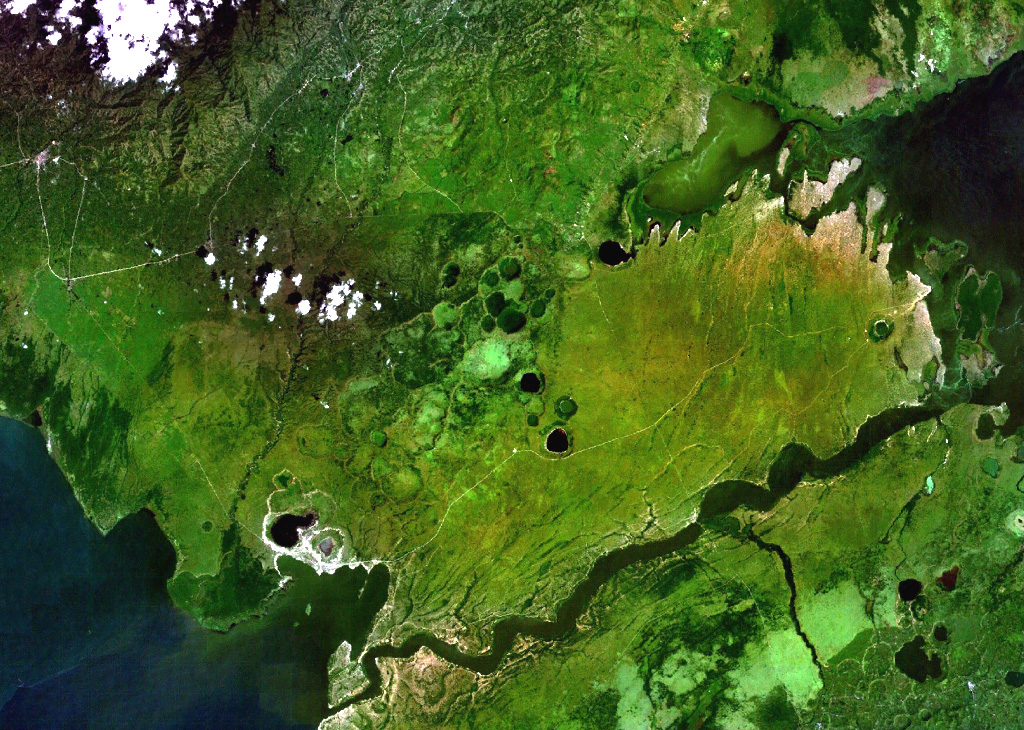
Lake-filled and dry maars of the Katwe-Kikorongo volcanic field are shown in the center of this NASA Landsat image (with N to the top). The volcanic field lies above the river channel connecting Lake Edward (lower left) with Lake George (upper right) in the Western Rift Valley of Uganda. Dark-colored Lake Katwe (lower left) is a shallow 3-km-long body of water that occupies two of three intersecting craters immediately NE of Lake Edward. Local folk tales suggest that volcanism in the Katwe-Kikorongo area has continued into historical times.
NASA Landsat 7 image (worldwind.arc.nasa.gov)
![]() This image is made available as a Public Domain Work, but proper attribution is appreciated.
This image is made available as a Public Domain Work, but proper attribution is appreciated.
Galleries: Maars
Keywords: remote sensing | crater | maar | crater lake
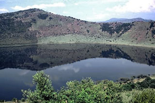
Katwe-Kikorongo