Global Volcanism Program | Image GVP-12165

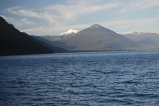
The sparsely vegetated pyroclastic cone at the lower right with a strip of snow on its crater rim is Volcán Apagado, also known as Hualiaque. Seen in an aerial view from the NW with the rugged snow-capped Chilean Andes in the background, it lies in the center of the peninsula between the Gulf of Ancud and the Reloncaví estuary. The pyroclastic cone lies within a 6-km-wide depression breached to the SW. The broad symmetrical Hornopirén volcano, capped by snow fields, lies to the east of Apagado at the left center.
Photo by Gerald Prins, 2008 (Wikimedia Commons).
![]() This image is made available under the Creative Commons BY-NC 4.0 license terms.
This image is made available under the Creative Commons BY-NC 4.0 license terms.

Apagado
Hornopirén