Global Volcanism Program | Image GVP-12405
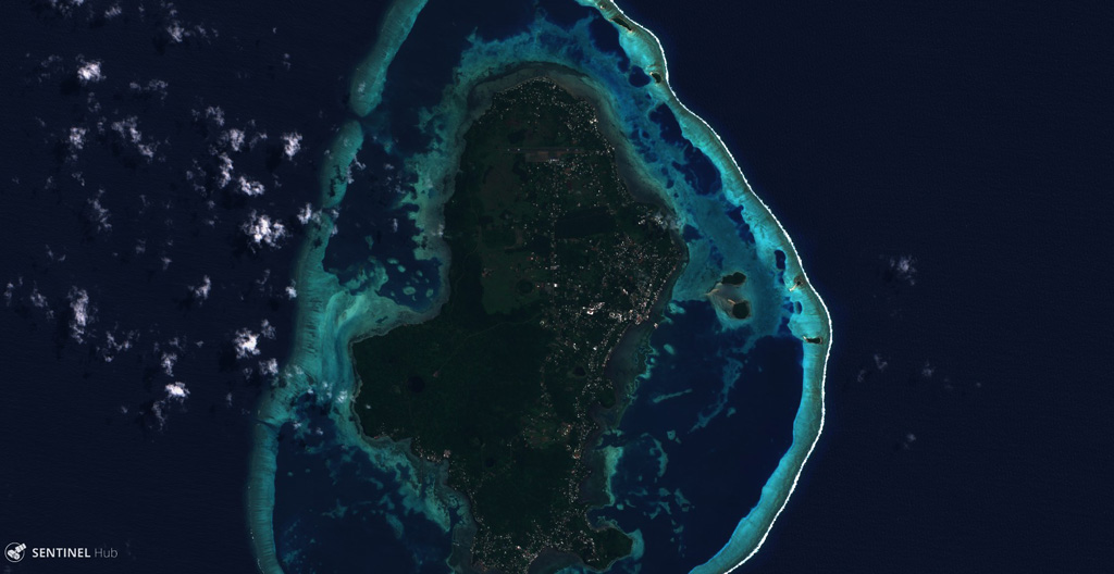
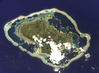
The main 7 x 14 km Uvea Island and 22 smaller islands that make up Wallis Islands are surrounded by a reef reaching approximately 18 km across (E-W), seen here in this 29 August 2018 Sentinel-2 satellite image. The island contains lava flows, craters, and scoria cones, with some craters containing lakes.
Satellite image courtesy of Copernicus Sentinel Data, 2018.
![]() This image is made available under the Creative Commons BY-SA 4.0 license terms.
This image is made available under the Creative Commons BY-SA 4.0 license terms.
Keywords: island volcano
Wallis Islands