Global Volcanism Program | Image GVP-12408

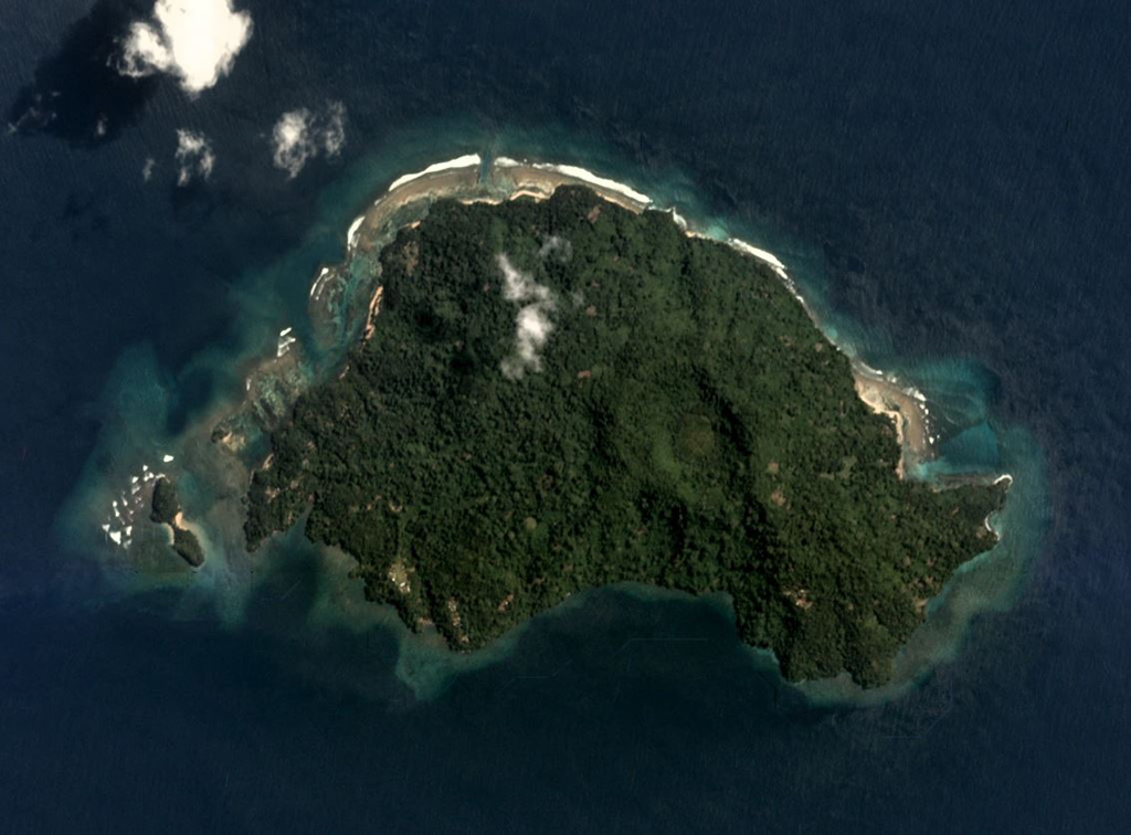
The roughly 3.5-km-wide Blup Blup is north of the main Papua New Guinea island. The summit crater near the center of the island is visible in this August 2019 Planet Labs satellite image monthly mosaic (N is at the top). A small flank cone is on the SW coast and a submarine debris avalanche deposit is to the NE.
Satellite image courtesy of Planet Labs Inc., 2019 (https://www.planet.com/).
Copyrighted image used with permission. All Rights Reserved. Contact photographer for any usage requests.
Keywords: island volcano

Blup Blup
