Global Volcanism Program | Image GVP-12615
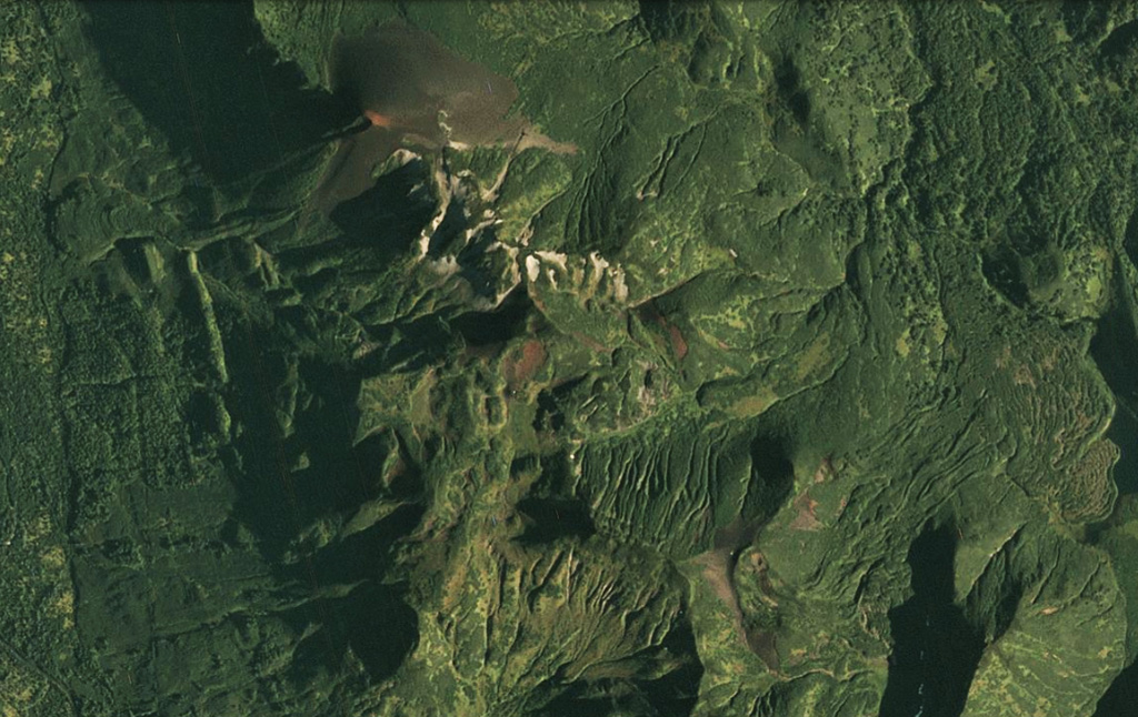
The Barkhatnaya Sopka complex is down the center of this 30 August 2020 PlanetScope satellite image (N is at the top; this image is approximately 6.5 km across). The unvegetated cone in the N is Mt. Barkhatnaya with a lava flow to the SW, and the red exposed area on the SE end of that roughly 2-km long ridge is a scoria cone on the other side of white eroded rhyolite. Barkhatnaya Sopka is a ESE-WNW-trending ridge approximately 500-m-long near the lower center of this image. Immediately E of that is the Goryachaya Sopka with a small crater that produced the lava flows towards the E.
Satellite image courtesy of Planet Labs Inc., 2020 (https://www.planet.com/).
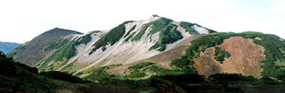
Copyrighted image used with permission. All Rights Reserved. Contact photographer for any usage requests.
Keywords: lava flow
Barkhatnaya Sopka