Global Volcanism Program | Image GVP-01242
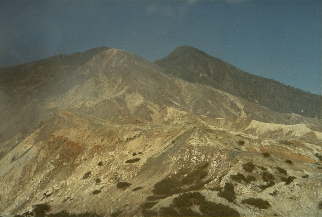
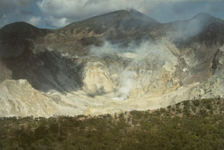
Sirung volcano, seen here from the north, lies at the NE end of a 14-km-long line of volcanic centers forming a peninsula at the southern end of Pantar Island. A 2-km-wide caldera at the summit has been the source of small phreatic eruptions during the 20th century. A lava dome (right) forms the 862-m-high summit of the volcano at the west side of the caldera.
Photo by L.D. Reksowirogo, 1972 (Volcanological Survey of Indonesia).
![]() This image is made available under the Creative Commons BY-NC 4.0 license terms.
This image is made available under the Creative Commons BY-NC 4.0 license terms.
Sirung