Global Volcanism Program | Image GVP-03211
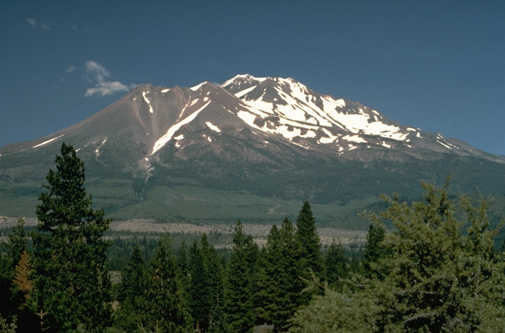
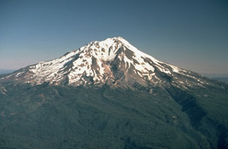
Shastina forms the largely snow-free ridge to the left of the summit of Shasta. During the growth of Shastina in the early Holocene, andesite lava flows traveled out to 14 km and pyroclastic flows swept down its flanks, covering much of the areas that are now the sites of the towns of Weed and Mt. Shasta.
Photo by Lyn Topinka, 1984 (U.S. Geological Survey).
![]() This image is made available as a Public Domain Work, but proper attribution is appreciated.
This image is made available as a Public Domain Work, but proper attribution is appreciated.
Keywords: lava dome | stratovolcano
Shasta