Global Volcanism Program | Image GVP-10191
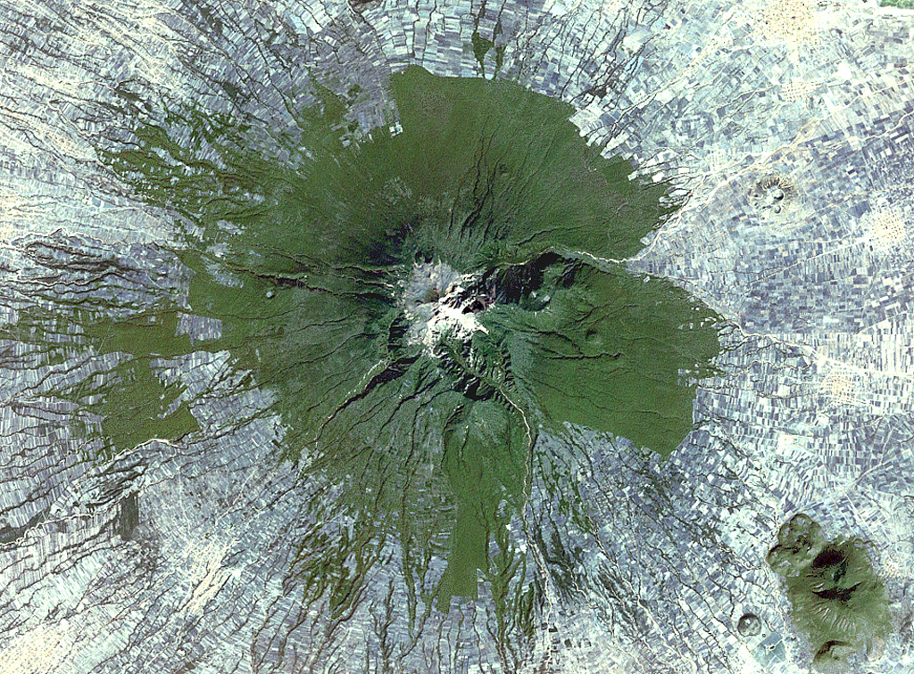
Farmlands surround La Malinche volcano NE of the city of Puebla in this 1999 Landsat satellite image (N is at the top; this image is approximately 30 km across). Deep erosional gullies have formed down the flanks, and the 1.5-km-diameter late-Pleistocene Xalapasco maar complex is on the lower ENE Flank about 11 km from the summit.
NASA Landsat satellite image, 1999 (courtesy of Loren Siebert, University of Akron).
![]() This image is made available under the Creative Commons BY-NC 4.0 license terms.
This image is made available under the Creative Commons BY-NC 4.0 license terms.
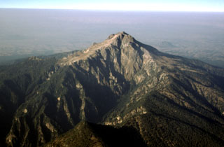
La Malinche