Report on Bandaisan (Japan) — September 2012
Bulletin of the Global Volcanism Network, vol. 37, no. 9 (September 2012)
Managing Editor: Richard Wunderman.
Bandaisan (Japan) Mild, 45-second volcanic tremor in June 2012
Please cite this report as:
Global Volcanism Program, 2012. Report on Bandaisan (Japan) (Wunderman, R., ed.). Bulletin of the Global Volcanism Network, 37:9. Smithsonian Institution. https://doi.org/10.5479/si.GVP.BGVN201209-283160
Bandaisan
Japan
37.601°N, 140.072°E; summit elev. 1816 m
All times are local (unless otherwise noted)
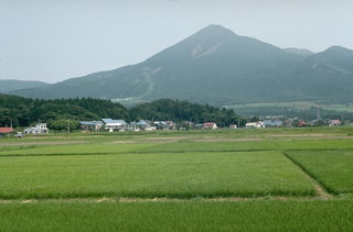
Our previous report on Bandai (also called Bandai-san) discussed a significant increase in seismicity during 14-16 August 2000 (BGVN 25:08). However, no eruption resulted and no large change in GPS data was noted. The volcano is located in Fukushima Prefecture, Japan, about 220 km N of Tokyo (figure 2). This report notes that volcanic tremor was recorded in June 2012.
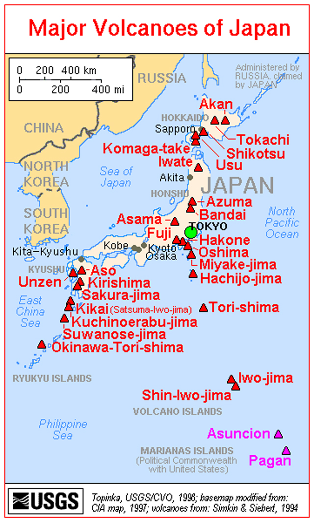 |
Figure 2. A map of the major volcanoes of Japan. Bandai is just N of Tokyo. Courtesy of the U.S. Geological Survey. |
Recent monthly reports of volcanic activity from the Japan Meteorological Agency (JMA), translated into English, resumed in October 2010; the only recent report on Bandai was in June 2012. Thus, in this report, we lack JMA reports between January 2005 and May 2012 and only summarize activity during June 2012.
According to JMA, on 25 June 2012 volcanic tremor with a duration of 45 seconds was recorded, the first since 9 June 2009. No change in volcanic earthquakes, ground deformation, or fumarolic activity was observed. Volcanic earthquakes have remained at a low level at least through September 2012. A camera located at Kengamine (~7 km N of the summit) showed that gas emissions remained low, rising less than 100 m in height.
Geological Summary. One of Japan's most noted volcanoes, Bandaisan rises above the north shore of Lake Inawashiro. This complex is formed of several overlapping andesitic stratovolcanoes, the largest of which is Obandai. Kobandaisan peak, which collapsed in 1888, was formed about 50,000 years ago. Obandai was constructed about 40,000 years ago after a Plinian eruption resulted in the collapse of an older edifice and the Okinajima debris avalanche to the SW. The last magmatic eruption took place more than 25,000 years ago, but four major phreatic eruptions have occurred during the past 5,000 years, most recently in 806 and 1888 CE. Seen from the south, Bandaisan presents a conical profile, but much of the north side of the volcano is missing as a result of the collapse of Kobandaisan during the 1888 eruption, causing a debris avalanche that buried several villages and formed several large lakes.
Information Contacts: Japan Meteorological Agency (JMA), Otemachi, 1-3-4, Chiyoda-ku Tokyo 100-8122, Japan (URL: http://www.jma.go.jp/).