Report on Mutnovsky (Russia) — 11 June-17 June 2008
Smithsonian Institution / US Geological Survey
Weekly Volcanic Activity Report, 11 June-17 June 2008
Managing Editor: Sally Sennert.
Please cite this report as:
Global Volcanism Program, 2008. Report on Mutnovsky (Russia) (Sennert, S, ed.). Weekly Volcanic Activity Report, 11 June-17 June 2008. Smithsonian Institution and US Geological Survey.
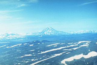
Mutnovsky
Russia
52.449°N, 158.196°E; summit elev. 2288 m
All times are local (unless otherwise noted)
KVERT reported that seismic activity in the area of Gorely and Mutnovsky volcanoes increased on 13 June. There is only one seismic station in the area of the two volcanoes, so the source of the seismicity could not be determined. Activity was not visually noted and satellite imagery was not available at the time of the seismicity increase. The level of Concern Color Code was raised to Yellow on 14 June.
Geological Summary. Massive Mutnovsky, one of the most active volcanoes of southern Kamchatka, is formed of four coalescing stratovolcanoes of predominantly basaltic composition. Multiple summit craters cap the volcanic complex. Growth of Mutnovsky IV, the youngest cone, began during the early Holocene. An intracrater cone was constructed along the northern wall of the 1.3-km-wide summit crater. Abundant flank cinder cones were concentrated on the SW side. Holocene activity was characterized by mild-to-moderate phreatic and phreatomagmatic eruptions from the summit crater. Explosive eruptions have been common since the 17th century, with lava flows produced during the 1904 eruption.