Global Volcanism Program | Image GVP-01738
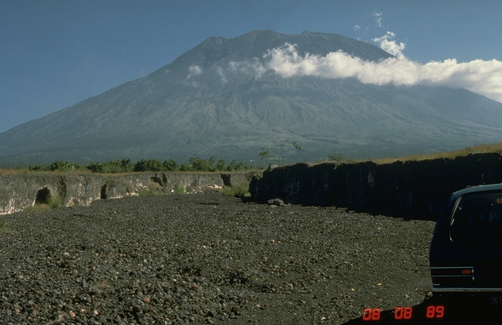
Agung is located at the eastern end of the island of Bali. A 200-m-deep crater is located at the summit of the volcano, seen here from the Sakta River on the eastern flank. Eruptions have been recorded in historical time including an episode during 1963-64 that produced devastating pyroclastic flows and lahars.
Photo by Tom Pierson, 1989 (U.S. Geological Survey).
![]() This image is made available as a Public Domain Work, but proper attribution is appreciated.
This image is made available as a Public Domain Work, but proper attribution is appreciated.
Keywords: stratovolcano

Agung