Global Volcanism Program | Image GVP-04082
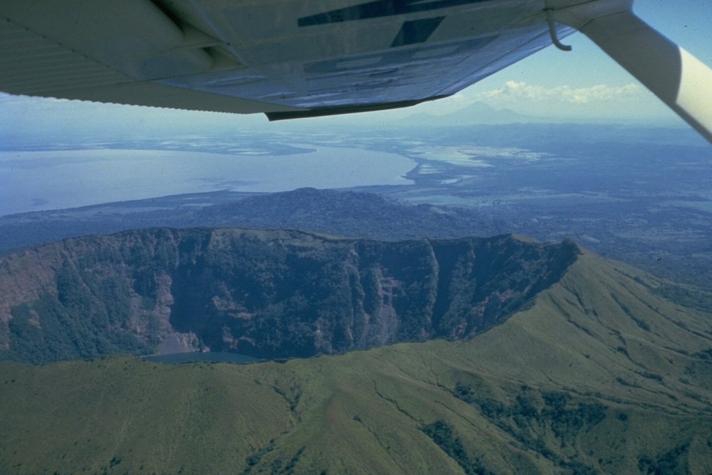
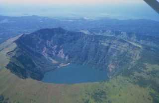
The summit of Cosigüina volcano, seen here from the west with the Gulf of Fonseca in the background and the border with Honduras at the upper left, contains a 2 x 2.4 km wide caldera with steep-sided, 500-m-high walls. The upper flanks of the volcano are only partially forested after a devastating eruption in 1835 produced pyroclastic flows and surges that reached the coast and fountain-fed lava flows that blanketed the upper eastern and western flanks. The peak in the distance below the right side of the wing is San Cristóbal volcano.
Photo by Jaime Incer, 1981.
![]() This image is made available under the Creative Commons BY-NC 4.0 license terms.
This image is made available under the Creative Commons BY-NC 4.0 license terms.
Cosigüina