Global Volcanism Program | Image GVP-06159
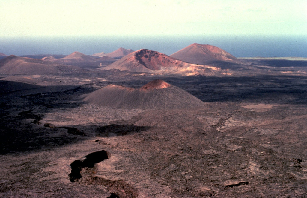
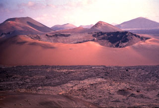
The largest historical eruption of the Canary Islands took place from 1730 to 1736, when a NE-SW-trending fissure formed the Montañas del Fuego ("Mountains of Fire"). Voluminous lava flows covering 200 km2 reached the western coast, seen in the distance, along a broad, 20-km-wide front. The villages of Maretas and Santa Catalina were destroyed, along with the most fertile valleys and estates of the island, which was entirely evacuated. Numerous cinder cones such as these dot the lava field, much of which lies within Timanfaya National Park.
Copyrighted photo by Katia and Maurice Krafft, 1977.
Copyrighted image used with permission. All Rights Reserved. Contact photographer for any usage requests.
Lanzarote