Global Volcanism Program | Image GVP-06509
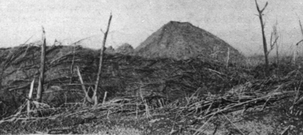
During the devastating April 1966 eruption, pyroclastic flows reached 9 km from the summit crater. These trees were blown down parallel to the travel direction of the pyroclastic flows near Bambingan, 5 km west of the crater. This 18 May 1966 photo shows Umbuk hill in the background and was taken about three weeks after the brief 26-27 April eruption that lasted about 7 hours.
Photo by I. Suryo, 1966 (Volcanological Survey of Indonesia).
![]() This image is made available under the Creative Commons BY-NC 4.0 license terms.
This image is made available under the Creative Commons BY-NC 4.0 license terms.
Keywords: pyroclastic flow | environmental impact | vegetation
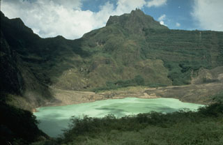
Kelud