Global Volcanism Program | Image GVP-07213
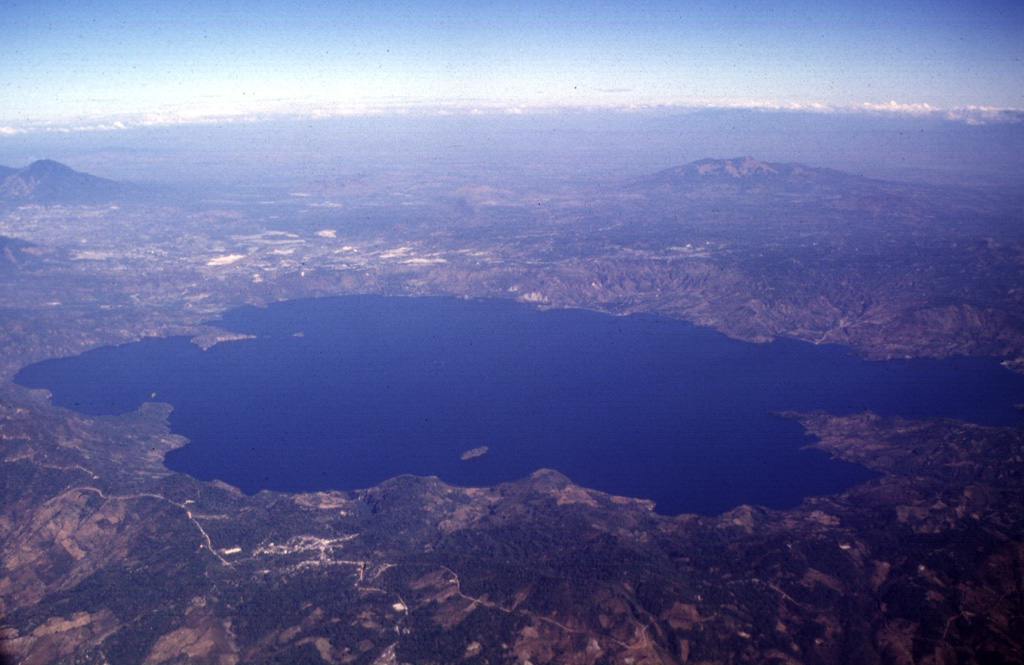
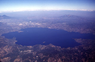
The 13 x 17 km Ilopango caldera is filled by one of El Salvador's largest lakes. The caldera, which has a scalloped 150-500 m high rim, lies immediately east of the capital city of San Salvador (upper left). The latest caldera collapse event occurred during the massive 536-550 CE eruption, which produced widespread pyroclastic flows and devastated early Mayan cities. Post-caldera eruptions formed a series of lava domes within the lake and near its shore.
Photo by Carlos Pullinger, 1996 (Servicio Nacional de Estudios Territoriales, El Salvador).
![]() This image is made available under the Creative Commons BY-NC 4.0 license terms.
This image is made available under the Creative Commons BY-NC 4.0 license terms.
Keywords: caldera
Ilopango