Image GVP-09435
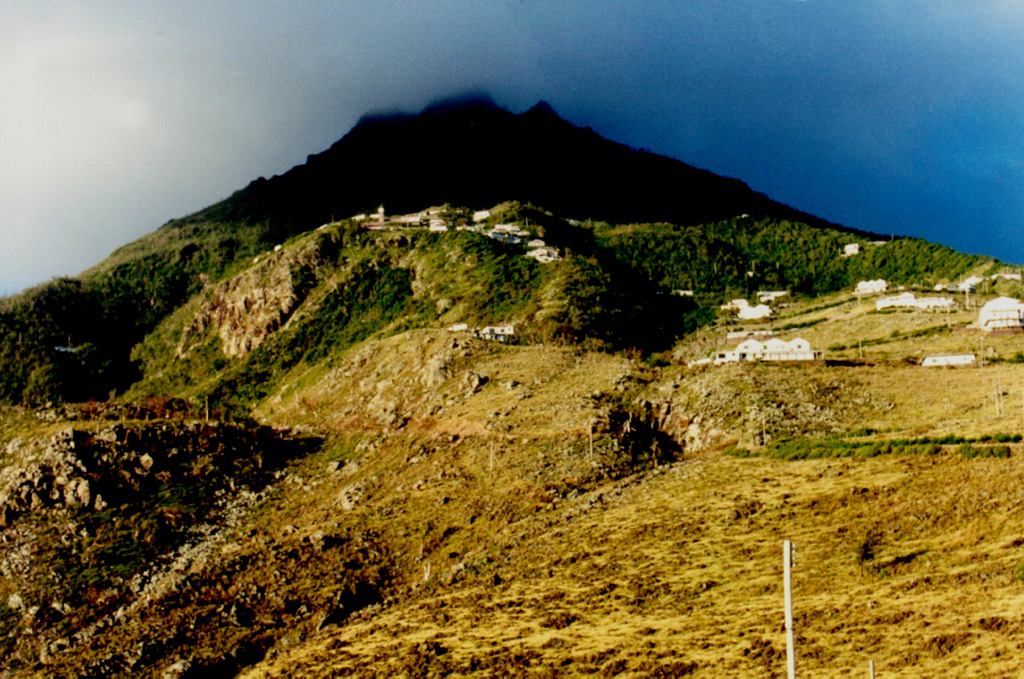
Mt. Scenery, the summit lava dome of Saba volcano, is seen from the airport on the NE side of the island. The sun-dappled slopes in the foreground are the surface of a large andesitic lava flow that descends the NE flank of the volcano and forms the Flat Point Peninsula, on which the airport was constructed. A steep switch-backed road extends from the airport to the village of Lower Hells Gate (center). Saba is the northernmost active volcano of the West Indies.
Photo by John Shepherd, 2000 (Seismic Research Unit, University of West Indies).
![]() This image is made available under the Creative Commons BY-NC-ND 4.0 license terms.
This image is made available under the Creative Commons BY-NC-ND 4.0 license terms.

Saba