Global Volcanism Program | Image GVP-09973
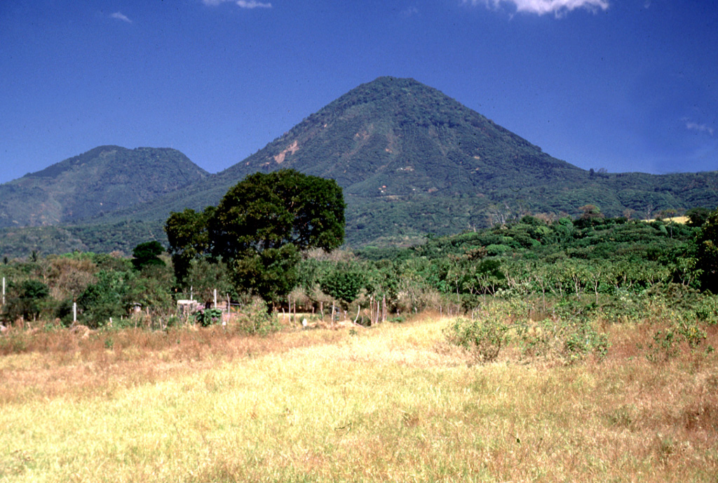
Cerro los Naranjos volcano is at the SE end of the Sierra de Apaneca. Cerro el Aguila ("Eagle Peak") lies on the left horizon to the NW of Los Naranjos.
Photo by Lee Siebert, 2002 (Smithsonian Institution).
![]() This image is made available under the Public Domain Dedication CC0 license, but proper attribution is appreciated.
This image is made available under the Public Domain Dedication CC0 license, but proper attribution is appreciated.
Keywords: stratovolcano
Apaneca Range