Global Volcanism Program | Image GVP-09974
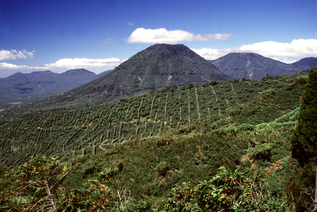
The escarpment across the middle of the photo with vertical rows of coffee plantation trees across the scarp in is the NW wall of a large caldera formed by edifice collapse of Santa Ana volcano during the late Pleistocene. About 5 km of the scarp is exposed; the remainder is buried beneath ejecta and lava flows from modern Santa Ana volcano. Cerro los Naranjos volcano rises beyond the scarp, and other peaks of the Apaneca range form the horizon on either side.
Photo by Lee Siebert, 2002 (Smithsonian Institution).
![]() This image is made available under the Public Domain Dedication CC0 license, but proper attribution is appreciated.
This image is made available under the Public Domain Dedication CC0 license, but proper attribution is appreciated.
Keywords: landslide scarp | stratovolcano

Santa Ana
Apaneca Range