Global Volcanism Program | Image GVP-10183
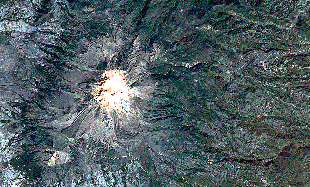
Pico de Orizaba (Volcán Citlaltépetl) formed on the margin of the Altiplano and has substantially higher relief on its eastern (right) side. Debris avalanches and lahars produced by edifice collapse have swept down the eastern flanks onto the coastal plain. A lava flow with lateral levees is visible on the lower SW flank below the summit. The eroded peak to the lower left beyond the lava flow terminus is Sierra Negra, the southernmost peak of the Cofre de Perote-Orizaba volcanic chain.
NASA Landsat satellite image, 1999 (courtesy of Loren Siebert, University of Akron).
![]() This image is made available under the Creative Commons BY-NC 4.0 license terms.
This image is made available under the Creative Commons BY-NC 4.0 license terms.
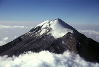
Pico de Orizaba