Global Volcanism Program | Image GVP-11380
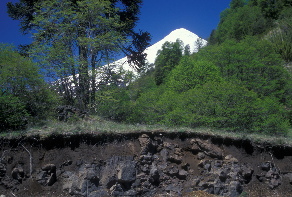
The lava flow in the foreground roadcut is part of the Quillelhue Basalts, which were erupted from an area at about 2600 m altitude on the NNW flank of Lanín, the snow-capped volcano in the background. The lavas form a basaltic field that reaches as far as Quillelhue Lake, more than 5 km from their source. The flows are bracketed by 2170 BP date for the Mamuil Malal dacitic block-and-ash flow and a 1650 BP date for an overlying pyroclastic-flow deposit.
Photo by Lee Siebert, 2004 (Smithsonian Institution).
![]() This image is made available under the Public Domain Dedication CC0 license, but proper attribution is appreciated.
This image is made available under the Public Domain Dedication CC0 license, but proper attribution is appreciated.
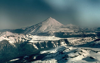
Lanín