Global Volcanism Program | Image GVP-11544
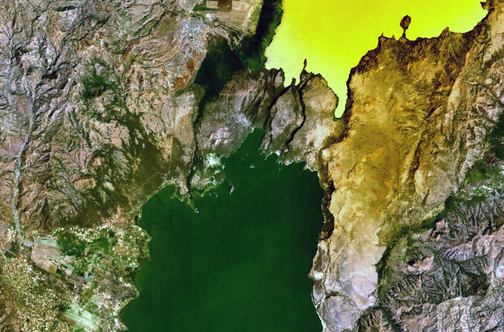
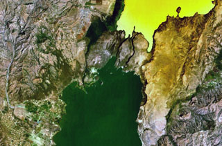
A group of scoria cones and basaltic lava flows at Tosa Sucha lies near the northern shore of Lake Chamo, the greenish lake at the bottom-center portion of this NASA Landsat image (with north to the top). The cones occupy a faulted area between Lake Chamo and the southern end of yellowish Lake Abaya. Some cones form islands in Lake Chamo.
NASA Landsat 7 image (worldwind.arc.nasa.gov)
![]() This image is made available as a Public Domain Work, but proper attribution is appreciated.
This image is made available as a Public Domain Work, but proper attribution is appreciated.
Tosa Sucha