Global Volcanism Program | Image GVP-11549
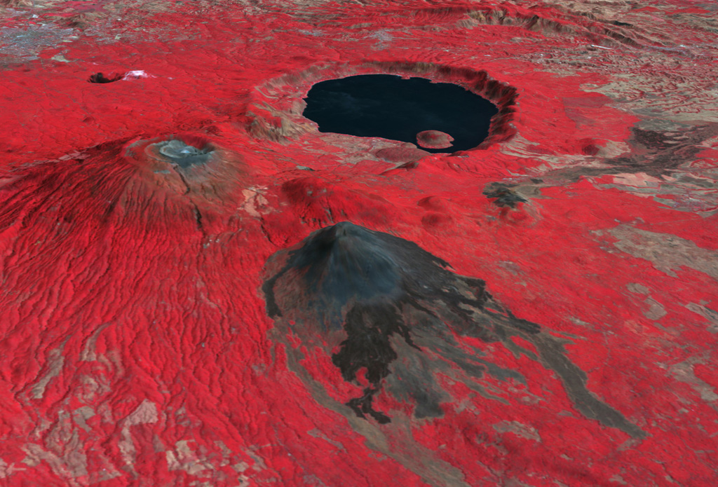
This false-color oblique DEM overlain by a thermal infrared ASTER image shows Santa Ana volcano (middle left), Izalco volcano (center), and the roughly 5.5 x 6 km Coatepeque caldera lake from the SW. The summit of Santa Ana has series of nested craters, and a NW-SE-trending fissure across the edifice. Lava flows were recently emplaced across the southern flanks of Izalco. The grayish area at the far upper left is the city of Santa Ana, El Salvador.
NASA ASTER image, 2001 (https://earthobservatory.nasa.gov/).
![]() This image is made available as a Public Domain Work, but proper attribution is appreciated.
This image is made available as a Public Domain Work, but proper attribution is appreciated.
Galleries: Remote Sensing
Keywords: remote sensing | technology | DEM | model | thermal infrared

Santa Ana
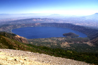
Coatepeque Caldera
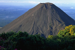
Izalco