Global Volcanism Program | Image GVP-11733
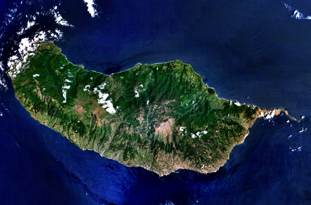
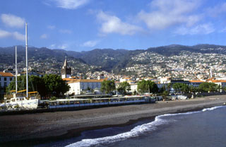
The 90-km-long island of Madeira is seen in this NASA Landsat image (with north to the top). Construction of the volcano along E-W-trending rift zones was followed by a period of extensive erosion and possible edifice collapse. The capital city of Funchal lies along the SE coast, east of a large caldera that extends to the southern coast. Late-stage eruptions were scattered throughout the island, although the youngest activity took place along the west-central crest of the island, on the Paul da Serra plateau near the cloud near the center of this image.
NASA Landsat 7 image (worldwind.arc.nasa.gov)
![]() This image is made available as a Public Domain Work, but proper attribution is appreciated.
This image is made available as a Public Domain Work, but proper attribution is appreciated.
Madeira