Global Volcanism Program | Image GVP-12266
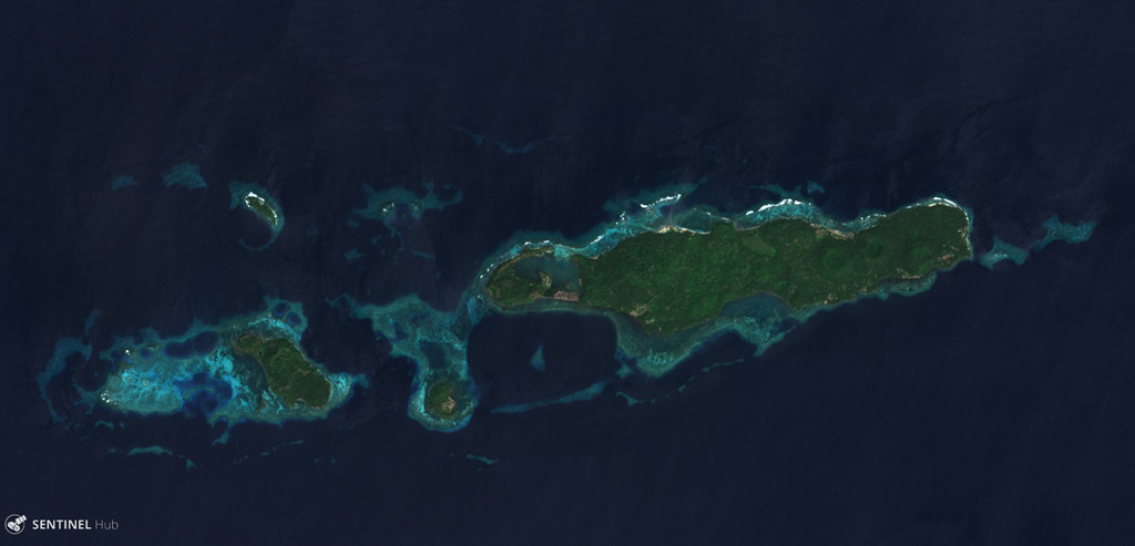
The Mundua islands are an E-W trending group of volcanic edifices north of New Britain, Papua New Guinea. The island group is seen here in a 4 December 2019 Sentinel-2 satellite image (N at the top) with a lateral distance of approximately 15 km. The largest island to the E is Ningau, with Goru crater on the far left side. Three smaller island-forming cones can be seen to the W of Ningau, with Silenge, then Vambu from E to W, and Undaga N of Vambu.
Satellite image courtesy of Copernicus Sentinel Data, 2019.
![]() This image is made available under the Creative Commons BY-SA 4.0 license terms.
This image is made available under the Creative Commons BY-SA 4.0 license terms.
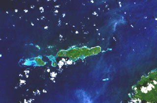
Mundua