Global Volcanism Program | Image GVP-12371
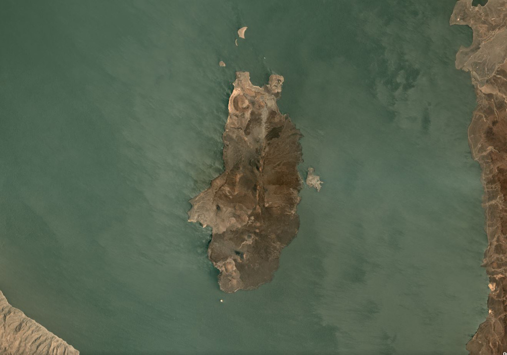
The South Island is the southernmost of three volcanic islands within Lake Turkana in northern Kenya, at 11 x 5.5 km plus smaller islands around the main exposed landmass, seen here in this September 2019 Planet Labs satellite image monthly mosaic (N is at the top). Lava flows form much of the surface and a fissure runs along the center of the island. Smaller cones and craters are also visible, with a larger crater at the northern end of the island.
Satellite image courtesy of Planet Labs Inc., 2019 (https://www.planet.com/).
Copyrighted image used with permission. All Rights Reserved. Contact photographer for any usage requests.
Keywords: island volcano
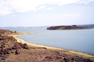
Lake Turkana South Island