Global Volcanism Program | Image GVP-12524
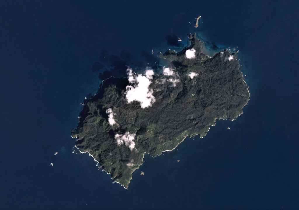
The 22 km2 Isla del Coco (Cocos Islands) is the subaerial portion of the Cocos Ridge, shown in this December 2019 Planet Labs satellite image monthly mosaic (N is at the top). A Pliocene-Pleistocene shield volcano partly forms the roughly 7-km-long (in the NE-SW direction) island. Steep cliffs around the coast expose thick columnar-jointed lava flows, thin lavas, and breccias (possibly debris flows).
Satellite image courtesy of Planet Labs Inc., 2019 (https://www.planet.com/).
Copyrighted image used with permission. All Rights Reserved. Contact photographer for any usage requests.
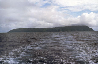
Isla del Coco