Global Volcanism Program | Image GVP-12535
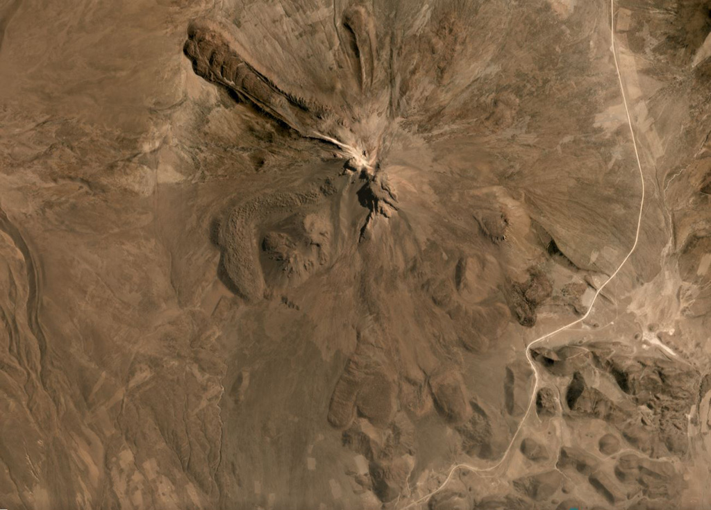
The flanks of Tata Sabaya have largely formed through the extrusion of lava domes and flows, with some lobate flows displaying pressure ridges and levees seen in this September 2019 Planet Labs satellite image monthly mosaic (N is at the top; this image is approximately 12 km across). The NW end of a hummocky roughly 300 km2 debris avalanche deposit is in the lower right corner of this image. The collapse scarp from the flank collapse that produced the deposit and opened toward the S has been subsequently filled by lava domes.
Satellite image courtesy of Planet Labs Inc., 2019 (https://www.planet.com/).
Copyrighted image used with permission. All Rights Reserved. Contact photographer for any usage requests.
Galleries: Debris Avalanches / Landslides
Keywords: hummock | debris avalanche deposit | lava dome | lava flow | levee
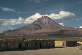
Tata Sabaya