 Hunga Tonga-Hunga Ha'apai Hunga Tonga-Hunga Ha'apai
Tonga Ridge
|
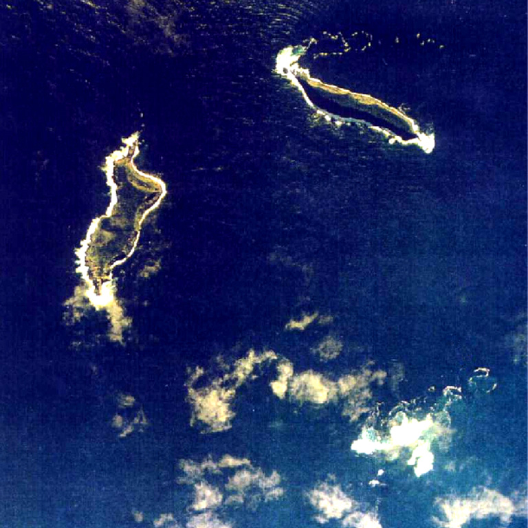
Large eruptions at Hunga Tonga-Hunga Ha'apai on both 14 and 15 January produced plumes that reached the stratosphere and caused significant regional effects. Activity on the 14th apparently removed approximately the middle third of the island that had been expanded over the previous few weeks, revealed by a Planet Lab image acquired at 1525 on 15 January. About two hours after that image was taken an even stronger eruption produced a stratospheric plume seen in satellite images, sent pressure waves across the atmosphere, and caused tsunami that traversed the Pacific. Following these explosions, a Sentinel image acquired on 17 January showed that most of the previous combined island had been destroyed, leaving only small parts of the NE island of Hunga Tonga (200 m long) and the SW island of Hunga Ha'apai (700 m long) above the ocean surface.
A sub-aerial eruption that began at 0420 on 14 January produced mushroom-shaped ash, steam, and gas plumes that rose as high as 20 km (65,600 ft) a.s.l., into the stratosphere, and expanded radially at the top of the plume to 240 km in diameter, according to the Tonga Geological Services (TGS). Geologists observing from a boat around 1700-1830 in the afternoon noted that the plume was about 5 km wide at its base, with Surtseyan pulses ejecting dark dense material into the air, and pyroclastic flows expanding over the ocean. The eruption plume drifted over the island groups of Tongatapu, ‘Eua, Ha’apai, and Vava’u, carrying an estimated sulfur dioxide mass of 0.05 Tg (50,000 tonnes) based on satellite data. Sulfur odors were reported in Tongatapu (70 km S), near the capital on Motutapu Island, and on ‘Eua (106 km SSE). Ashfall was reported on many islands, including Fonoi and Mango (75 km ENE). The Tonga Meteorological Services (TMS) issued tsunami warnings for areas including ‘otu Mu’omu’a in Ha’apai (Nomuka, Mango, Fonoifua), ‘Atataa, ‘Eueiki, and Tongatapu mo ‘Eua. At 2000 on 14 January a tsunami with a height of 20 cm was recorded by the Nuku’olofa tide gauge. TMS warned residents to stay away from low-lying coastal areas, beaches, and harbors. The Wellington VAAC noted that the eruption was intermittent during 0043-0604 on 15 January; plumes rose to altitudes of 14 km (45,900 ft) a.s.l. The Global Lightning Detection Network (GLD360) ground-based network detected 191,309 lightning events during a 21-hour period (0334 on 14 January-0134 on 15 January), or up to 30,000 events per hour; for comparison, during 22-28 December 2018 the partial collapse eruption of Krakatau generated 337,000 events. TGS noted that at 0720 on 15 January an eruption lasting 10-15 minutes sent an ash plume to 14 km (45,900 ft) a.s.l. that drifted E.
A larger, submarine eruption began at 1700 on 15 January. According to news reports and social media posts, residents in Nuku'alofa (65 km S) heard multiple loud booms and saw a large expanding eruption plume that eventually covered all of the Tongan islands. According to the Wellington VAAC the plume had risen to 15.2 km (50,000 ft) a.s.l. by 1819; the top of the plume as seen in satellite images was at least 600 km in diameter by 1903. During 1719-2300 there were almost 400,000 lightning events recorded in the plume by the GLD360 network, with 200,000 of those during 1800-1900. By 0343 on 16 January the plume had risen to 19.2 km (63,000 ft) a.s.l. Analysis of other satellite datasets suggested that the plume may have risen to 30 km (98,400) a.s.l. The sulfur dioxide mass of the plume was 0.4 Tg (400,000 tonnes) derived from satellite-based estimates; the cloud drifted W consistent with stratospheric winds. Significant ashfall was reported on populated islands of Tonga, 70-100 km E. News articles noted that some residents had difficulty breathing from the ash in the air.
Most domestic and international communications on the islands were severed due to a break in an underwater cable, and ashfall has delayed both damage assessment and relief assistance. An update on 18 January from the Government of Tonga provided details about the eruption and its effects, noting that tsunami warnings issued after the eruption began had triggered evacuations. Tsunami waves 2-15 m high, based on a news article and the official report, arrived on the W coasts of the Tongatapu, ‘Eua, and Ha’apai islands, and three people in Tonga were confirmed to have died as a result, with many others injured. Extensive damage was reported on Mango, Fonoifua, and Nomuka islands, and on the W part of Tongatapu. Aerial surveillance by the New Zealand Defence Force’s showed brown, damaged vegetation and landscapes, debris, and modified coastlines with sediment-laden waters. The Government of Tonga also noted that communications to the outer islands were accomplished with a patrol boat on 17 January, and limited communication with residents of Vava’u and Ha’apai was possible the next day. Evacuation efforts were underway for some remote islands. Ashfall contaminated fresh water supplies, hindered sea transportation and harbor access, and caused flights to be cancelled. According to a news report the small island of Atata, near Nuku'alofa, had been completely submerged. Tsunami warnings were also issued in several other countries surrounding the Pacific Ocean. Several news sources reported flooding and damage caused by the tsunamis at locations as far away as Peru (over 10,000 km), where it caused two deaths. Warnings were issued for the N and E coasts of New Zealand’s North Island and the Chatham Islands; multiple boats were destroyed. Thousands in Japan evacuated after tsunami warnings, and the waves there reached 80 cm, disrupting train services, flights, and damaging harbors and boats. In Anchorage, Alaska, the US National Weather Service reported maximum waves heights of 20-100 cm on Alaskan coastlines, and along the British Columbia coast waves were 16-29 cm on 15 January.
The explosions produced multiple pressure (shock) waves that rippled through surrounding weather clouds, though the pressure wave from the largest explosion propagated across the planet. The sonic boom from this wave was heard at great distances, including in Fiji (about 500 km NW), within about two hours in New Zealand (1,600-2,000 km), and within about nine hours in Alaska, USA (9,370 km NE). The pressure wave was also recorded by infrasound and weather instruments worldwide as it circled the Earth, with instruments picking up the wave a second time as it arrived from the opposite direction. Very small perturbances in the ocean waves recorded in the Caribbean, which some referred to as meteotsunamis, were likely generated by atmospheric disturbances from the pressure waves after they passed over South America.
Sources: Wellington Volcanic Ash Advisory Center (VAAC), Tonga Geological Services, Government of Tonga, Tonga Meteorological Services, Government of Tonga, Planet Labs, Ghassan Taha, NASA, Simon Carn, Chris Vagasky, Vaisala, Robin Lacassin, 9 News Australia, Gerard Fryer, Affiliate Researcher at University of Hawaii at Manoa, National Weather Service Alaska Region, Consulate of the Kingdom of Tonga, National Weather Service, Anchorage, 1 News, 1 News, Dov Bensimon, Montréal Volcanic Ash Advisory Centre (VAAC), New Zealand Defence Force (NZDF), Stuff, Fijivillage, Andrew Tupper, Natural Hazards Consulting, Radio New Zealand
|

 Barren Island
 Piton de la Fournaise
 Wolf
Wolf Aira
Aira Fuego
Fuego Great Sitkin
 Karymsky
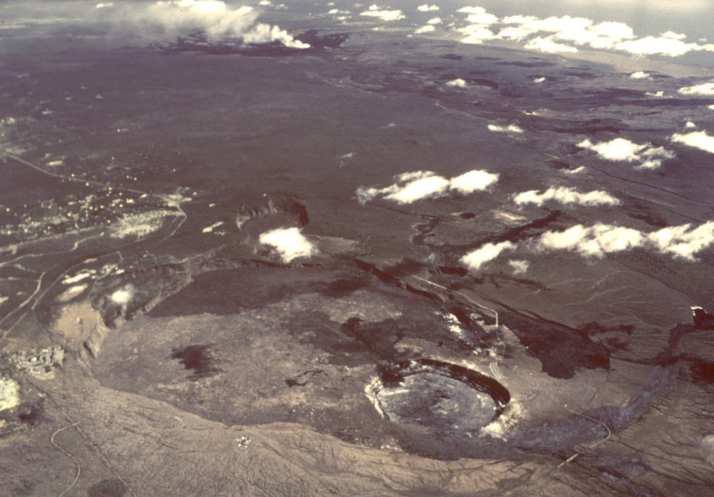 Kilauea
 Lewotolok
 Merapi
 Pavlof
 Rincon de la Vieja
 Semeru
 Semisopochnoi
 Sheveluch
 Suwanosejima
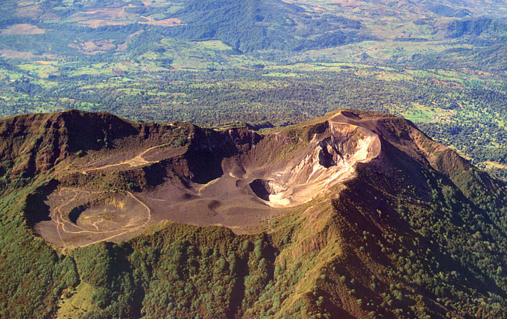 Turrialba
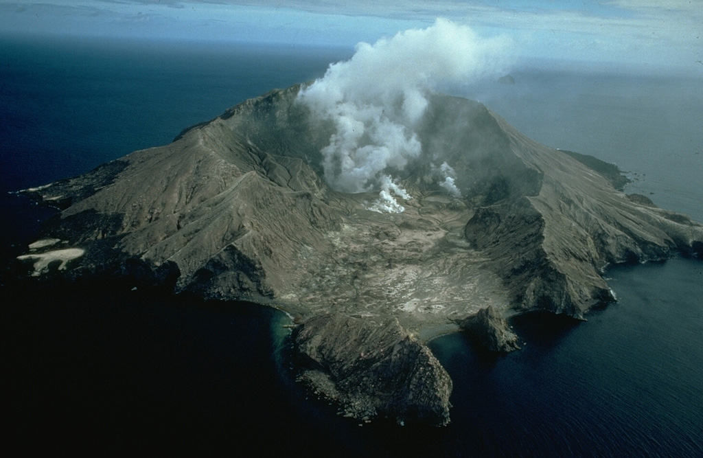 Whakaari/White Island
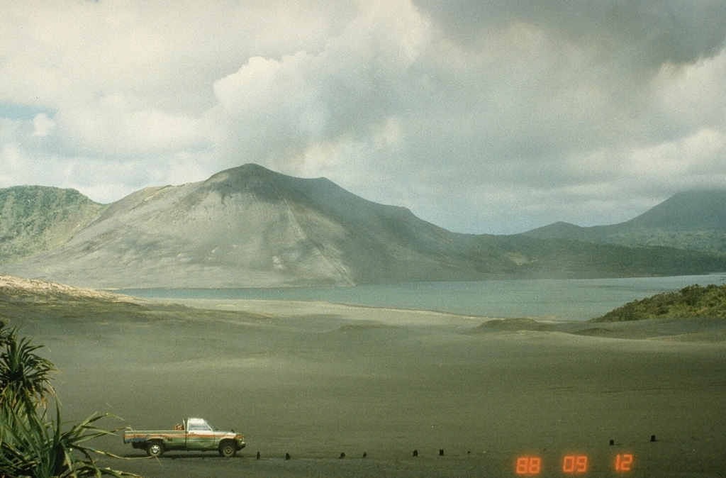 Yasur
Yasur