Report on Kaba (Indonesia) — 14 October-20 October 2009
Smithsonian Institution / US Geological Survey
Weekly Volcanic Activity Report, 14 October-20 October 2009
Managing Editor: Sally Sennert.
Please cite this report as:
Global Volcanism Program, 2009. Report on Kaba (Indonesia) (Sennert, S, ed.). Weekly Volcanic Activity Report, 14 October-20 October 2009. Smithsonian Institution and US Geological Survey.
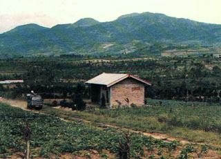
Kaba
Indonesia
3.5156°S, 102.6261°E; summit elev. 1962 m
All times are local (unless otherwise noted)
On 20 October, CVGHM reported that seismic activity from Kaba increased in August and remained elevated in September and October. Inflation was also detected. When weather permitted, diffuse white plumes were seen rising 25-50 m above the crater rim and drifting E. Based on the deformation and increased seismicity, CVGHN raised the Alert Level to 2 (on a scale of 1-4).
Geological Summary. The Kaba volcanic massif is ~8 km long, elongated WSW-ENE, with a summit area that includes multiple large craters. On the SW is the 1-km-diameter Hitam crater, with the Malintang cone and 400-m crater ~1 km NE, on the flank of the active 1-km-diameter Kaba crater. The smaller Mali crater is connected to Kaba, and Vogelsang cone is just beyond that to the NE. Another large forested cone is SE of the active craters. Most recorded eruptions have originated from the summit craters, and affected only the summit area. However, the upper-NE flank crater Kawah Vogelsang also produced explosions during the 19th and 20th centuries.
Source: Pusat Vulkanologi dan Mitigasi Bencana Geologi (PVMBG, also known as CVGHM)