Report on Gamkonora (Indonesia) — 5 September-11 September 2012
Smithsonian Institution / US Geological Survey
Weekly Volcanic Activity Report, 5 September-11 September 2012
Managing Editor: Sally Sennert.
Please cite this report as:
Global Volcanism Program, 2012. Report on Gamkonora (Indonesia) (Sennert, S, ed.). Weekly Volcanic Activity Report, 5 September-11 September 2012. Smithsonian Institution and US Geological Survey.
Gamkonora
Indonesia
1.38°N, 127.53°E; summit elev. 1635 m
All times are local (unless otherwise noted)
CVGHM reported that on 7 September the Alert Level for Gamkonora was lowered from 3 to 2 (on a scale of 1-4).
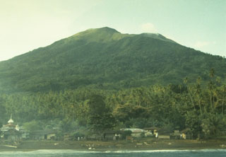
Geological Summary. The shifting of eruption centers on Gamkonora, the highest peak of Halmahera, has produced an elongated series of summit craters along a N-S trending rift. Youthful-looking lava flows originate near the cones of Gunung Alon and Popolojo, south of Gamkonora. Since its first recorded eruption in the 16th century, typical activity has been small-to-moderate explosive eruptions. Its largest recorded eruption, in 1673, was accompanied by tsunamis that inundated villages.
Source: Pusat Vulkanologi dan Mitigasi Bencana Geologi (PVMBG, also known as CVGHM)