
Smithsonian Institution / US Geological Survey
Weekly Volcanic Activity Report, 15 January-21 January 2020
Managing Editor: Sally Sennert
Please cite this report as:
Global Volcanism Program, 2020. Report on Kuchinoerabujima (Japan) (Sennert, S, ed.). Weekly Volcanic Activity Report, 15 January-21 January 2020. Smithsonian Institution and US Geological Survey. https://volcano.si.edu/showreport.cfm?gvpvar=GVP.WVAR20200115-282050
White plumes from Kuchinoerabujima rose 600 m above the crater rim during 14-17 January. Minor eruptive activity from 1659 on 17 January through 1030 on 20 January generated grayish-white plumes that rose 300 m. Sulfur dioxide emissions were high at 800 and 1,600 tons per day on 15 and 16 January, respectively. The Alert Level remained at 3 (the middle level on a scale of 1-5).
Source: Japan Meteorological Agency (JMA)
Geological Summary. A group of young stratovolcanoes forms the eastern end of the irregularly shaped island of Kuchinoerabujima in the northern Ryukyu Islands, 15 km W of Yakushima. The Furudake, Shindake, and Noikeyama cones were erupted from south to north, respectively, forming a composite cone with multiple craters. All historical eruptions have occurred from Shindake, although a lava flow from the S flank of Furudake that reached the coast has a very fresh morphology. Frequent explosive eruptions have taken place from Shindake since 1840; the largest of these was in December 1933. Several villages on the 4 x 12 km island are located within a few kilometers of the active crater and have suffered damage from eruptions.


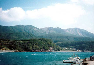 Kuchinoerabujima