Report on Nishinoshima (Japan) — 11 March-17 March 2020
Smithsonian Institution / US Geological Survey
Weekly Volcanic Activity Report, 11 March-17 March 2020
Managing Editor: Sally Sennert.
Please cite this report as:
Global Volcanism Program, 2020. Report on Nishinoshima (Japan) (Sennert, S, ed.). Weekly Volcanic Activity Report, 11 March-17 March 2020. Smithsonian Institution and US Geological Survey.
Nishinoshima
Japan
27.247°N, 140.874°E; summit elev. 100 m
All times are local (unless otherwise noted)
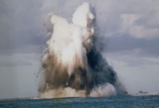
During an overflight on 9 March the Japan Coast Guard (JCG) noted continuous activity from the central vent at Nishinoshima, including an ash plume rising as high as 1 km. Ejected material landed near the cone’s base. Lava from the NE side of the central vent flowed 1 km N and into the sea. Steam plumes rose along the E coast where lava entered the sea. Lava also effused from a vent on the SW flank of the cone. Discolored yellow-green water was visible offshore to the W, N, and E. Sulfur dioxide emissions had increased since 17 February measurements. The marine exclusion zone was defined as a radius of about 2.6 km from the island.
Geological Summary. The small island of Nishinoshima was enlarged when several new islands coalesced during an eruption in 1973-74. Multiple eruptions that began in 2013 completely covered the previous exposed surface and continued to enlarge the island. The island is the summit of a massive submarine volcano that has prominent peaks to the S, W, and NE. The summit of the southern cone rises to within 214 m of the ocean surface 9 km SSE.
Source: Japan Coast Guard

