Image GVP-01502
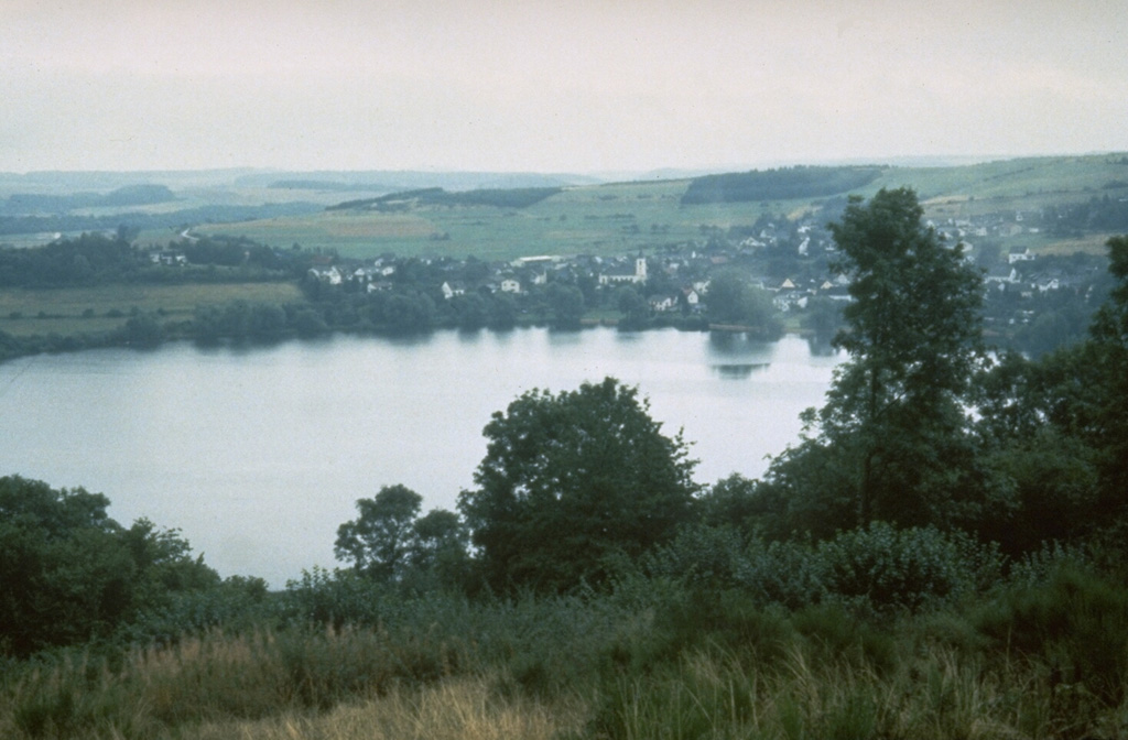
The Mehrener maar is one of about 80 maars of the West Eifel Volcanic Field. The village of Mehrener is located on the shore of a lake partially filling the crater, whose rim lies behind the village. Maars, scoria cones, and small stratovolcanoes cover an area of 600 km2, W of the Rhine River. Most of the volcanic features formed during eruptions between about 730,000 and 10,000 years ago.
Photo by Richard Waitt, 1990 (U.S. Geological Survey).
![]() This image is made available as a Public Domain Work, but proper attribution is appreciated.
This image is made available as a Public Domain Work, but proper attribution is appreciated.
Galleries: Craters
Keywords: crater | crater lake
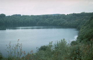
West Eifel Volcanic Field