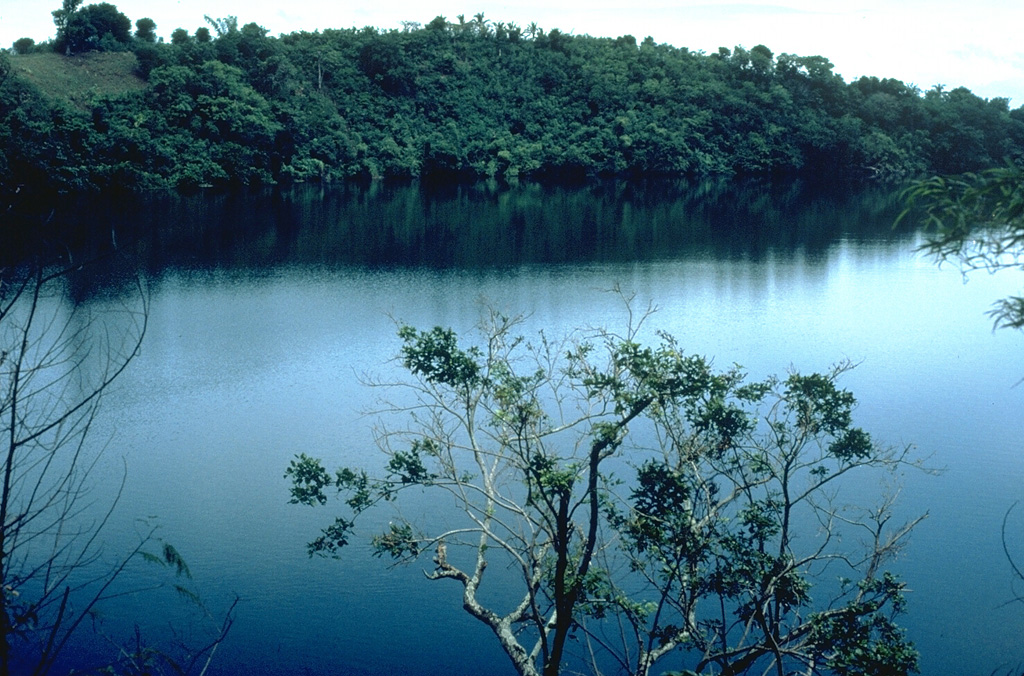
Image GVP-01868

Alligator Lake, along the southern shore of Laguna de Bay, is one of a group of dozens of maars and scoria cones forming the San Pablo volcanic field (also known as the Laguna volcanic field). Three generations of maars are present, the youngest of which contain deep lakes. Many of the maars are located along a NE-SW trend. Local legends indicate that the most recent eruption occurred about 500-700 years ago at Sampaloc Lake, 17 km SE of Alligator Lake.
Photo by Chris Newhall, 1989 (U.S. Geological Survey).
![]() This image is made available as a Public Domain Work, but proper attribution is appreciated.
This image is made available as a Public Domain Work, but proper attribution is appreciated.
Galleries: Maars
Keywords: maar | crater | crater lake

San Pablo Volcanic Field
