Image GVP-04504
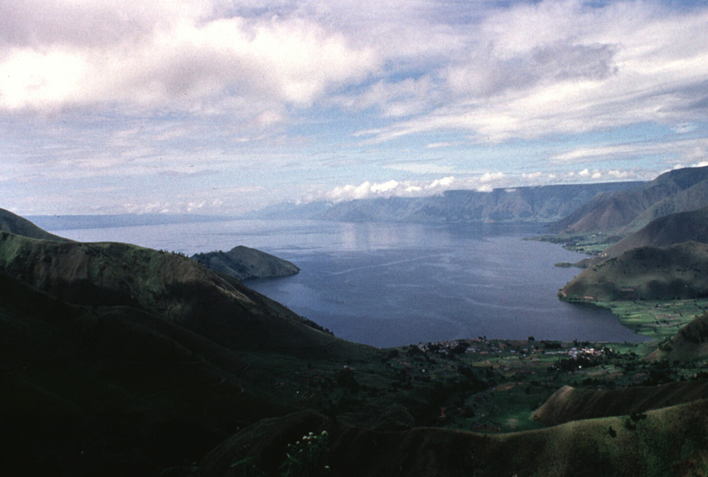
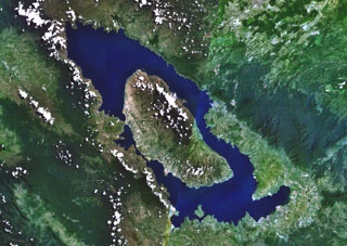
The 100-km-long Lake Toba is seen here from the northern end. The lake fills a 35 x 100 km caldera that formed during four major late-Pleistocene eruptions. The western caldera scarp forms the cliffs at the right. The low-angle slope on the left horizon is Samosir Island, half of a large resurgent block in the center of the caldera. The 1,700 km2 lake is the largest in SE Asia.
Anonymous, 1993.
![]() This image is made available under the Creative Commons BY-NC-ND 4.0 license terms.
This image is made available under the Creative Commons BY-NC-ND 4.0 license terms.
Galleries: caldera
Keywords: caldera
Toba