Image GVP-04825
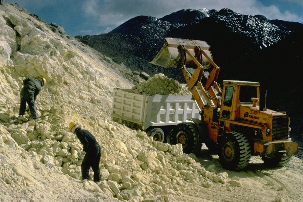
An active sulfur mine is located north of Cerro Sairecabur volcano. This chain of volcanoes along the Chile-Bolivia border contains at least 10 postglacial centers. The highest peak, Sairecabur, is located at the northern margin of a 4.5-km-wide caldera. Postglacial activity began south of the summit, but most recently produced a pristine lava flow to the NW. Escalante, at the northern end of the chain, has a crater lake at its summit and youthful lava flows on its flanks. Other eruptive centers have also produced Holocene lava flows.
Copyrighted photo by Katia and Maurice Krafft, 1983.
Copyrighted image used with permission. All Rights Reserved. Contact photographer for any usage requests.
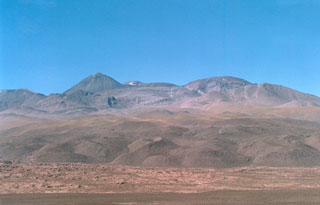
Sairecábur