Image GVP-05192
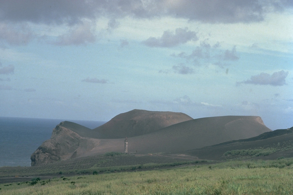
A pyroclastic cone initially built by submarine eruptions during 1957-58 now forms a peninsula at the western tip of Fayal Island. The top of the lighthouse, which was located along the former shoreline, is visible at the lower left-center of the photo. Heavy ashfall from the eruption covered several houses and partially buried the lighthouse. Within the first two weeks of the eruption, an 800-m-wide island was built up to 100 m above sea level.
Copyrighted photo by Katia and Maurice Krafft, 1980.
Copyrighted image used with permission. All Rights Reserved. Contact photographer for any usage requests.
Fayal