Image GVP-06638
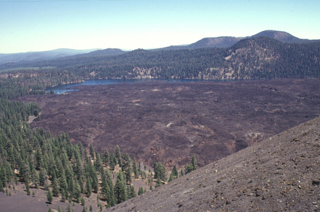
Lava flows traveled about 3.5 km to the north and south from Cinder Cone, blocking drainages and forming two lakes. The northern lake, Butte Lake, is seen here from the summit of Cinder Cone. The quartz-bearing basaltic lava flows originated from vents at the SE flank of the pyroclastic cone. The old Emigrant Trail connecting Nevada with the Sacremento Valley winds through the trees at the left base of the cone.
Photo by Lee Siebert, 1998 (Smithsonian Institution).
![]() This image is made available under the Public Domain Dedication CC0 license, but proper attribution is appreciated.
This image is made available under the Public Domain Dedication CC0 license, but proper attribution is appreciated.
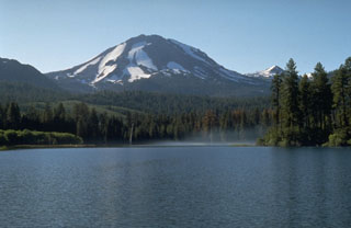
Lassen Volcanic Center