Image GVP-06725
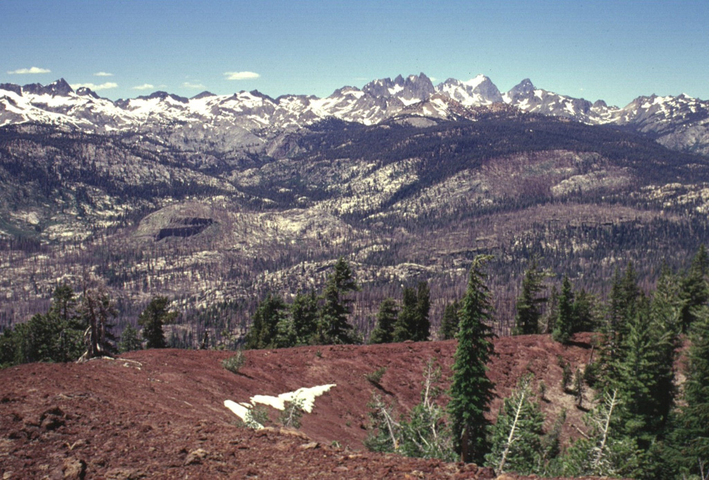
The rugged Sierra Nevada mountain range rises beyond the reddish rim of the southern cone of the twin Red Cones. The southern cone is breached to the NW and fed a lava flow that joined with one erupted from the SW breach of the northern cone to form a flow 2 km long and 2 km wide that traveled west to Crater Creek. Devils Postpile National Monument, with its spectacular columnar-jointed basaltic lava flow, lies along the Middle Fork of the San Joaquin River, below the rugged Minarets and Banner Peak on the horizon.
Photo by Lee Siebert, 1998 (Smithsonian Institution)
![]() This image is made available under the Public Domain Dedication CC0 license, but proper attribution is appreciated.
This image is made available under the Public Domain Dedication CC0 license, but proper attribution is appreciated.
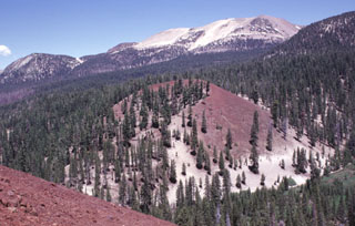
Mammoth Mountain