Image GVP-06752
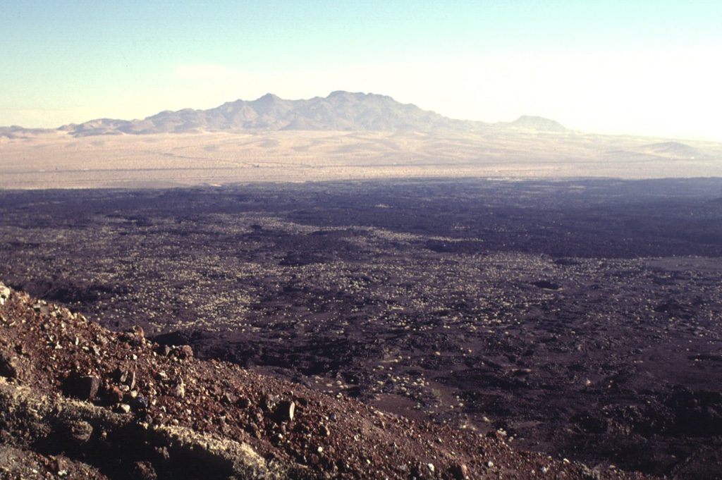
The NE rim of Pisgah Crater provides a view of the 100-sq-km lava field surrounding the crater. The basaltic lava field was erupted from the crater and nearby vents and is dominantly formed of pahoehoe lava, although aa lavas were erupted on the eastern side. Interstate highway 40 skirts the northern margins of the lava flow, below the Cady Mountains in the distance. The lavas were erupted onto alluvial-fan and playa-lake deposits.
Photo by Lee Siebert, 1997 (Smithsonian Institution).
![]() This image is made available under the Public Domain Dedication CC0 license, but proper attribution is appreciated.
This image is made available under the Public Domain Dedication CC0 license, but proper attribution is appreciated.
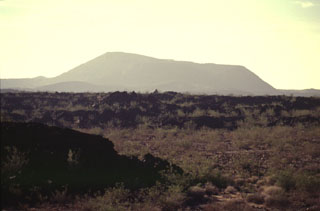
Lavic Lake