Image GVP-07286
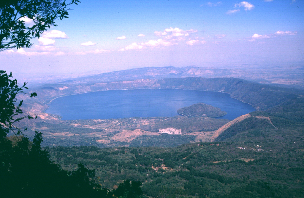
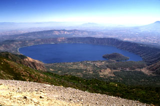
Coatepeque caldera is seen here from the summit of Cerro Verde to the SSW, a flank cone of Santa Ana volcano. Lago de Coatepeque fills the NE part of the 7 x 10 km caldera. The younger SW side of the caldera extends into Santa Ana volcano and to the sudden break in slope seen in the lower right of the photo. The caldera floor is higher on this side as a result of the accumulation of volcaniclastic debris from Santa Ana and the eruption of a series of post-caldera lava domes, one of which forms the island in the lake.
Photo by Carlos Pullinger, 1996 (Servicio Nacional de Estudios Territoriales, El Salvador).
![]() This image is made available under the Creative Commons BY-NC 4.0 license terms.
This image is made available under the Creative Commons BY-NC 4.0 license terms.
Keywords: caldera
Coatepeque Caldera