Image GVP-07319
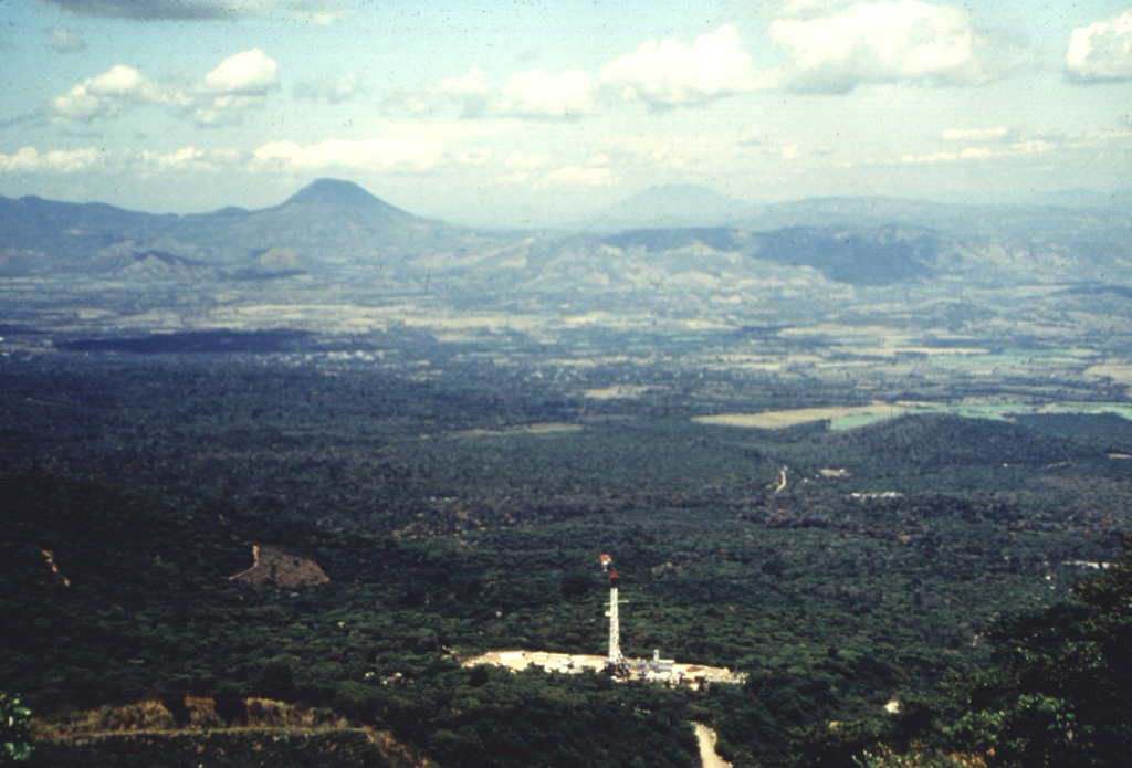
This view from the Apaneca Range shows the CH-A well and drill rig of the Ahuachapán geothermal field in the foreground. The peak on the left horizon across the lowlands of El Salvador's interior valley is Volcán Chingo, along the El Salvador/Guatemala border. The flatter peak to the far right is Volcán Suchitán in Guatemala.
Photo by Comisión Ejecutiva Hidroeléctricia del Río Lempa (CEL), 1992.
![]() This image is made available under the Creative Commons BY-NC-ND 4.0 license terms.
This image is made available under the Creative Commons BY-NC-ND 4.0 license terms.
Keywords: geothermal | stratovolcano
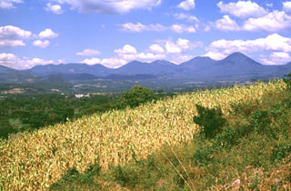
Apaneca Range
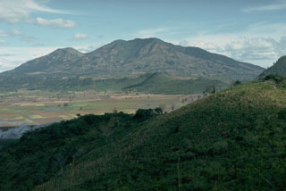
Suchitán