Image GVP-07588
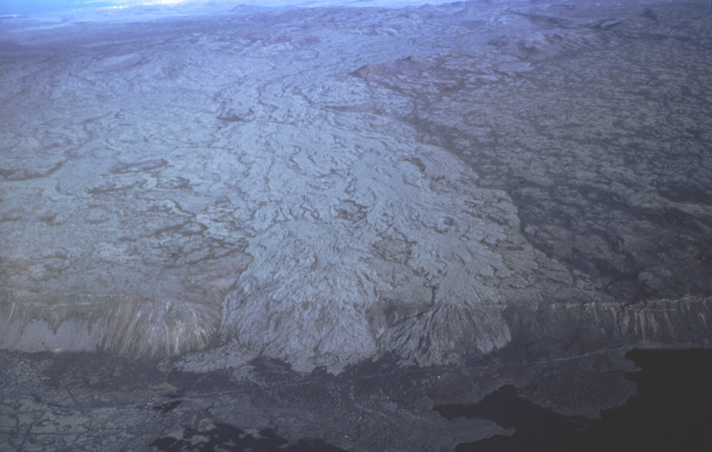
The Brennisteinsfjöll volcanic system, located east of Kleifarvatn lake, consists of a 45-50 km long NE-SW trending fissure swarm, with crater rows and small shield volcanoes. Brennisteinsfjöll is seen here in an aerial view from the south with light-colored lava flows spilling over a 100 m high E-W-trending scarp from vents at least 8 km to the north. The body of water seen bottom left is the Hliðarvatn lake.
Photo by Oddur Sigurdsson, 1983 (Icelandic National Energy Authority).
![]() This image is made available under the Creative Commons BY-NC 4.0 license terms.
This image is made available under the Creative Commons BY-NC 4.0 license terms.
Keywords: lava flow
Brennisteinsfjöll